https://cuilcaghlakelands.org/geosite/cuilcagh-lowlands-trail/
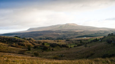
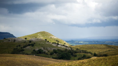
Cuilcagh Lowlands Trail begins in Swanlinbar village before traversing along country roads with magnificent views heading towards Tullydermot Falls. It then meanders along an old bog road through the Special Area of Conservation (SAC) in the shadow of Cuilcagh Mountain towards Alteen before descending into Swanlinbar village again.
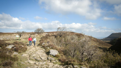
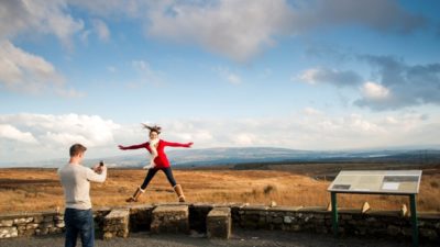
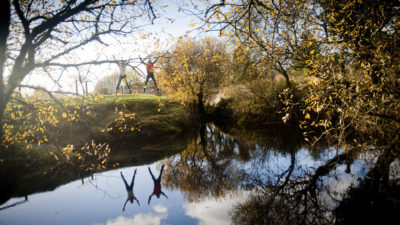
There are many points of interest along the trail including magnificent views of Cuilcagh Mountain and Slieve Rushen as well as old farmsteads and wonderful biodiversity. As you traverse along this trail you will note information posts about the various features.
Cuilcagh Lowlands Trail
Cuilcagh-Anierin Uplands SAC is one of the largest expanses of intact mountain blanket bog in Ireland. SAC are internationally important nature conservation sites designated for the presence of one or more habitats and or species of European significance.
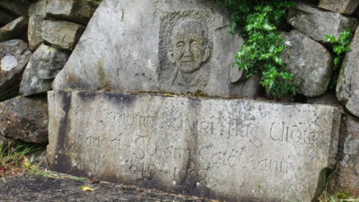
Swanlinbar ‘An Muileann Iarainn’ in gaelic means ‘Iron Mill’ and reflects the foundation of an ironworks in the village in 1700. The name Swanlinbar derives from the name of four entrepreneurs who set up an iron foundry along the river in the early years of the 18th Century. Messrs Swift, Saunders Darling and Barry concocted the name of Swandlingbar. Gradually the D and G were dropped and by 1850 the name of Swanlinbar was the common usage though it is often referred to locally as Swad.
Glangevlin, Cavan
An opportunity to escape from the stresses of modern life into a paradise of tra...
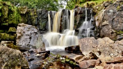
Tullydermot, Cavan
This picturesque waterfall enjoys easy access and is situated under the shadow o...
Enniskillen, Fermanagh
A way marked linear route that will appeal to experienced walkers who enjoy spe...
Marlbank, Fermanagh
A way marked linear route through some of Fermanagh’s finest scenery, showcasing...
Enniskillen, Fermanagh
Here you’ll find a view of hundreds of miles of forest, bogland and fields in ev...
Altachullion Lower, Cavan
A great opportunity to see contrasting and diverse views, as well as a rare chan...
Derrylahan, Cavan
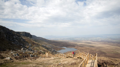
As the surface rising of Ireland’s longest river, the Shannon Pot’s fame can be ...
Derrylahan, Cavan
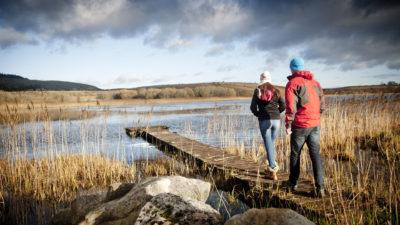
This tranquil Lough is part of a complex system of underground rivers associated...
Distances are from Cuilcagh Lowlands Trail
This is a cooperation project between Fermanagh and Omagh District Council and Cavan County Council.
This element of the project is part funded under Priority 6 (LEADER) of the Northern Ireland Rural Development Programme 2014-2020 by the Department of Agriculture, Environment and Rural Affairs and the European Union. We would like to acknowledge the assistance of County Cavan Local Community Development Committee (LCDC), Cavan County Council, Breffni Integrated CLG, Department of Rural and Community Development, the EU and EAFRD in part-funding this project. Funded by the Irish Government Under the Leader Programme 2014-2020.